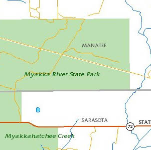
Parks and Conservation
Parks and Conservation information shows where public parks and conservation areas are located in Florida.
Use Parks and Conservation information to:
- Determine the location of public recreation areas.
- Determine government land ownership and conservation lands.
Managed Lands
How to Access Parks and Conservation Map Layers
Use the MapWise GIS Map Viewer to explore parks and conservation maps and related information.
- Built for real estate professionals.
- Covers the state of Florida.
- 7-Day Free Trial
- Pricing Info