Scanned Maps
Scanned maps are paper maps that have been scanned and georeferenced for use in a Geographic Information System (GIS). Most of the information on these maps are available as separate GIS map layers, however, many people find the original map product useful as a reference.
Use scanned maps to:
- View topography of an area.
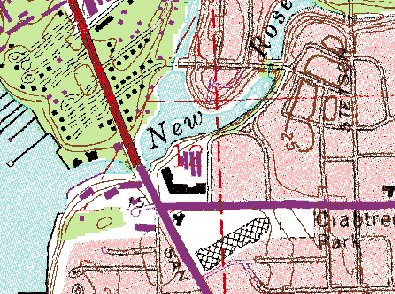
USGS Topographic Map 1:24,000
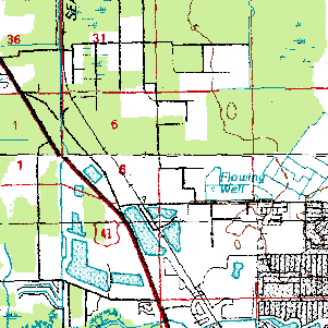
USGS Topographic Map 1:100,000
How to Access Scanned Topo Map Layers
Use the MapWise GIS Map Viewer to explore topo maps and related information.
- Built for real estate professionals.
- Covers the state of Florida.
- 7-Day Free Trial
- Pricing Info